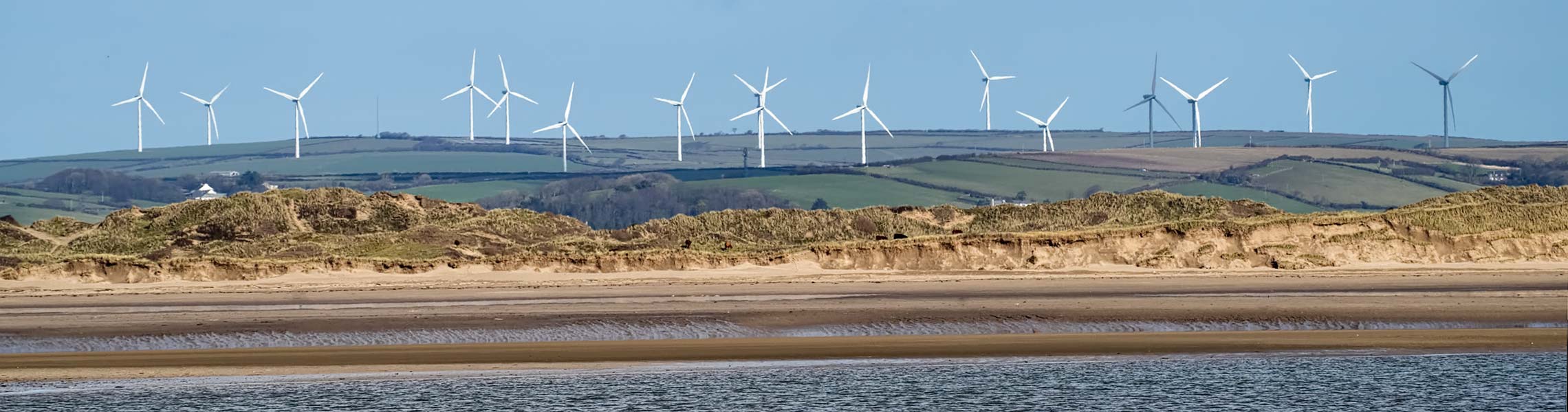
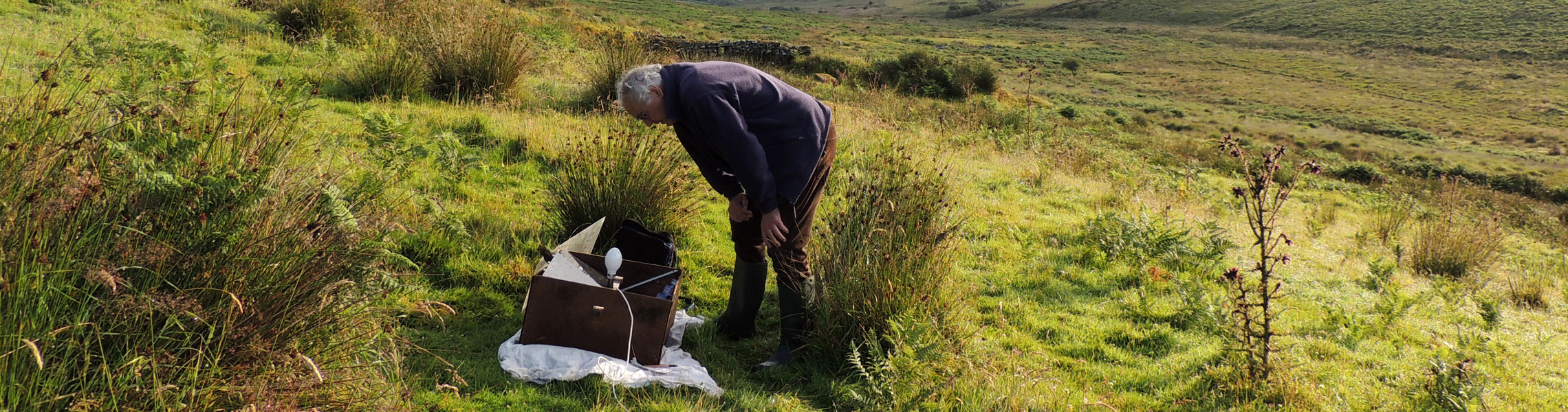
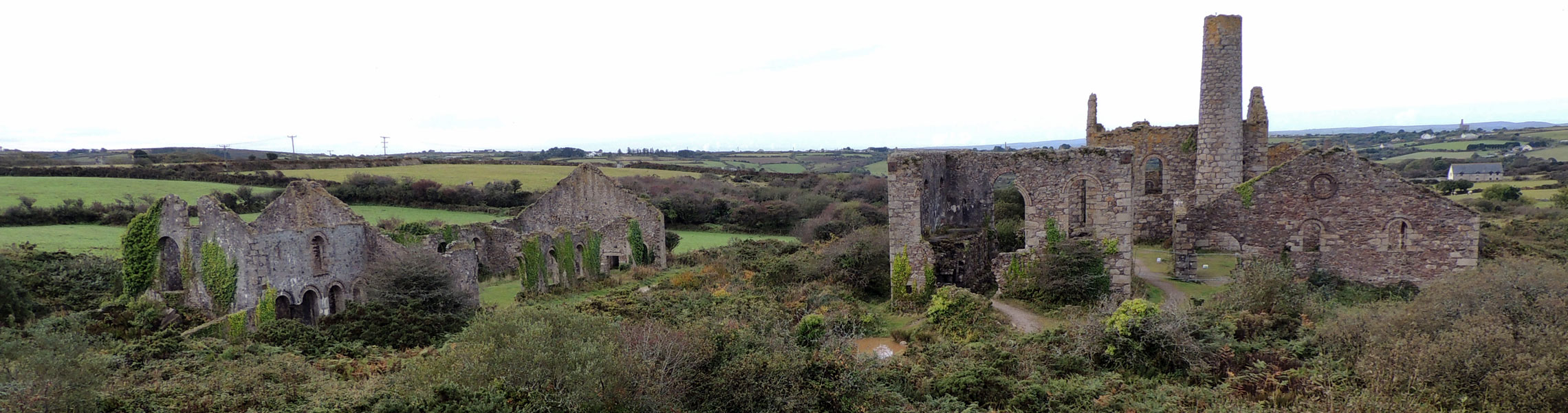
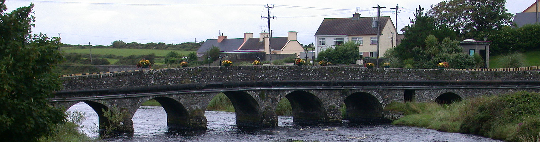
Celebrating 21 years delivering clear, impartial and accurate advice on environmental planning for land use and development.
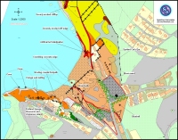
mapping

Spalding Associates (Environmental) Ltd
An Independent Environmental Consultancy
Celebrating 21 years delivering clear, impartial and accurate advice on environmental planning for land use and development.


10 Walsingham Place
Truro
Cornwall
TR1 2RP
Tel: 01872 272 711
All text on this web site is copyright Spalding Associates Ltd. All rights reserved. For more information please see our Copyright Notice.
Usage of this website is governed by our Terms and Conditions.
This site makes limited use of cookies. By using this site you consent to this. For more information please see our Privacy and Cookies Policy.